Mount Agung, Bali: How to See, Honor and Climb the Island’s Sacred Volcano from Ubud
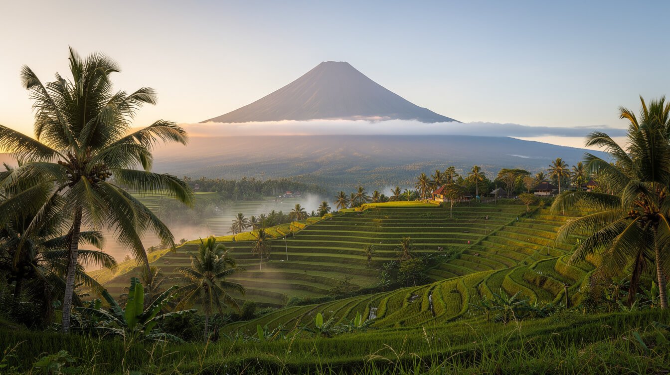
On a clear dry-season morning, before the clouds have had time to gather, you may catch it from the road east of Ubud: a single dark cone standing above everything else on the island, faintly blue, almost too large to be real. That’s Mount Agung, Gunung Agung to the Balinese, the “great mountain.” At 3,031 meters it’s the highest point in Bali. It’s an active volcano, and for the people who live in its shadow it’s the most sacred place on earth.
Most guides to Mount Agung tell you one of two things: its eruption history, or how hard the night climb is. This one tries to do something more useful for you as a guest staying in Ubud. It explains why the mountain matters, where to see it on a day trip, how to decide honestly whether to climb it (or climb Batur instead), what to expect at Besakih, the great temple on its slopes, and how to check whether the mountain is open before you plan anything.
Before you plan a climb (checked 6 November 2026): every hiking trail to the summit of Mount Agung is closed until Wednesday, 18 November 2026. The closure began on 21 October for the Pujawali Purnama Kelima ceremony at Pura Pasar Agung, and on 3 November the East Bali forest authority (UPTD KPH Bali Timur) extended it. It covers every route to the top, including Besakih and Pasar Agung. Guides are asked not to take anyone up. Viewpoints and Besakih temple aren’t affected.
Where Is Mount Agung, and Why Does Every Compound Face It?
Mount Agung rises in Karangasem, the easternmost regency of Bali, about 60 kilometers from Ubud as the crow flies and roughly a 90-minute drive to its lower slopes. It’s a stratovolcano: a steep, layered cone built from centuries of ash and lava. From the south it looks almost perfectly symmetrical. From the north and east you can see the broken crater rim left by its last big eruptions.
For the Balinese, though, location is far more than geography. The island’s whole sense of direction is organized around the mountain. Kaja means toward the mountain, the upstream and pure direction. Kelod means toward the sea, where things flow down and away. In south Bali, kaja points roughly north. On the north coast it points south. Either way, it points to the peaks, and above all to Agung.
Once you know this, you start seeing it everywhere. In a traditional family compound, the household shrine (the sanggah or merajan) sits in the kaja-kangin corner, toward the mountain and the sunrise. Kitchens, rubbish and animal pens sit toward kelod. People sleep with their heads toward the mountain. Village temples follow the same logic: the temple of origins at the mountain end of the village, the temple of the dead toward the sea.
Bali’s Mount Meru
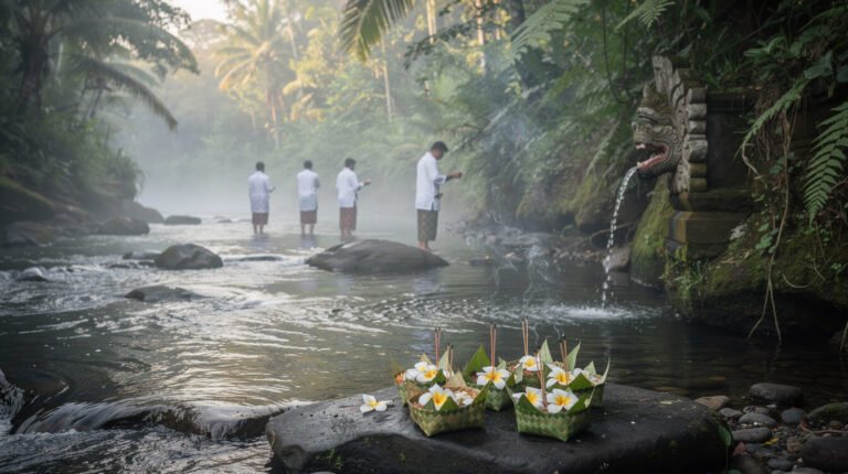
Balinese Hindu tradition holds that Mount Agung is a fragment of Mount Meru, the cosmic mountain at the center of the universe, carried to Bali by the gods. It’s understood as the seat of the divine and the dwelling place of the ancestors who have been purified. That’s why Bali’s mother temple, Pura Besakih, sits on its slope, and why the closures you’ll read about below are taken so seriously. To understand how this fits into everyday faith, our guide to Bali religion covers offerings, the temple calendar and how to be a gracious guest.
A Volcano with a Memory: 1963 and 2017
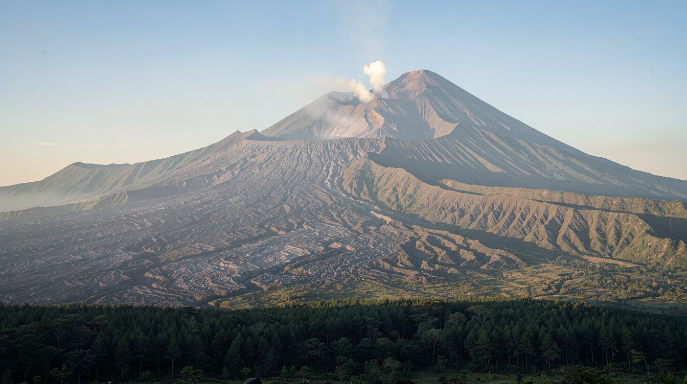
Mount Agung isn’t a quiet backdrop. It’s alive, and the island remembers what that means.
1963: the eruption that is still spoken about
In early 1963 Bali was preparing for Eka Dasa Rudra, the greatest purification ceremony in the Balinese calendar, held at Besakih roughly once a century. As the preparations went on, the mountain began to stir. The eruption came in February and reached its violent climax in March, with further explosions in May. Pyroclastic flows and later volcanic mudflows swept down the slopes. Estimates of the dead range from more than 1,100 to around 1,600, and many tens of thousands of people lost their homes and fields.
Lava flows passed close to Besakih but left its main shrines standing, and many Balinese saw that as deeply meaningful. The ash the eruption sent high into the atmosphere measurably cooled global temperatures for a time. Older people in east Bali still date events from “before the mountain” and “after the mountain.” If a local guide talks about 1963, listen. It’s family history, not trivia.
2017: the evacuation a generation remembers
In September 2017, after weeks of rising earthquakes, Indonesia’s volcanology agency raised Mount Agung to its highest alert level. Around 140,000 people left the slopes. Many lived for months in shelters, temples and the homes of relatives across Bali. The mountain began erupting in late November 2017, sending ash high over east Bali. Bali’s airport closed for about three days, and thousands of travelers were stranded. Smaller eruptions continued on and off into 2019.
Since then the mountain has been calm. Recent reports from Indonesia’s Geological Agency have kept Mount Agung at Level I, the lowest of four alert levels. That can change, so we show you how to check the live status near the end of this guide.
Get a free 3-day sample itinerary
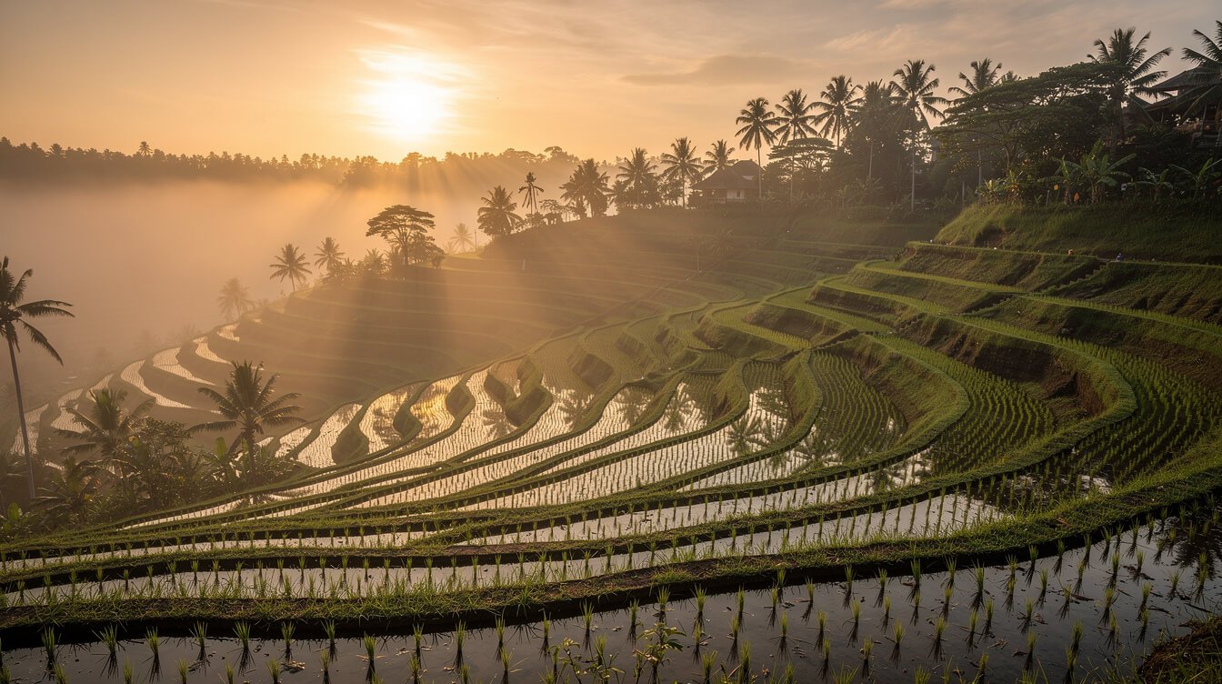
Want a gentler start before a mountain day? Three good days in Ubud: rice field walks at dawn, a morning market, a temple, and an easy east Bali drive. We will send you a free 3-day sample itinerary.
Seeing Mount Agung Without Climbing: The Best Viewpoints from Ubud
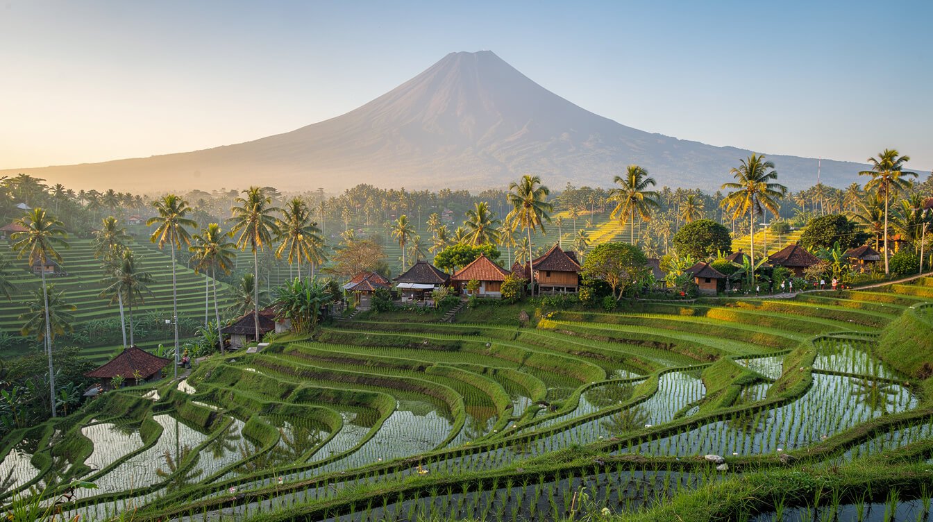
Here’s what most guides skip: the best way for most people to experience Mount Agung is to see it, well and from the right place, at the right hour. The mountain makes its own weather. On most days, cloud wraps the summit by late morning, especially from November to March. So the rule for every viewpoint is the same: go early, and go in the dry season if you can (roughly April to October).
Sidemen valley
About 75 minutes east of Ubud, Sidemen is a long green valley of rice terraces, weaving villages and quiet guesthouses, with Mount Agung filling the head of the valley. It’s the view many people picture when they think of rural Bali: farmers’ huts, coconut palms, terraces stepping down toward a river, and the mountain above it all. Walk a little of the terrace paths in the early morning. A slow lunch with that view is a day well spent.
Pura Lempuyang and its famous gateway
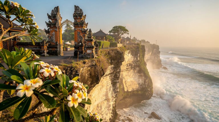
Pura Lempuyang, about two and a half hours from Ubud, is one of Bali’s six great directional temples. Its split gate at Penataran Agung Lempuyang frames Mount Agung so neatly that it has become one of the island’s most photographed places. Expect a queue for the photo at the gate, sometimes a long one, and come early for the clearest view. The “reflection” in many photos is created with a mirror under the camera, not water. The higher temple complex, reached by more than a thousand steps, rewards those who keep climbing.
Tirta Gangga and the Karangasem road
Tirta Gangga, the former royal water palace near Amlapura, has ornamental pools, stepping stones and fountains, with views of the mountain’s lower slopes. Pair it with Lempuyang and a slow drive home through Sidemen for a full east Bali day. The roads are narrow and winding, so a driver who knows the area makes the day far more relaxing.
Kintamani and closer to home
From the Kintamani rim, about an hour north of Ubud, you look down on Mount Batur and its crater lake, with the taller cone of Agung behind it to the east on clear days. Closer to home, you may catch a glimpse of Agung from higher ground north and east of Ubud on rare crystal-clear mornings. It’s often hazy, so treat a sighting as a gift. If you’d like a guest-tested route, our guide to day trips from Ubud and our notes on rice terrace day trips pair well with any of these. You can also ask the Villa Amrita team about a driver for an east Bali loop.
Climbing Mount Agung: Routes, Hours and an Honest Fitness Check
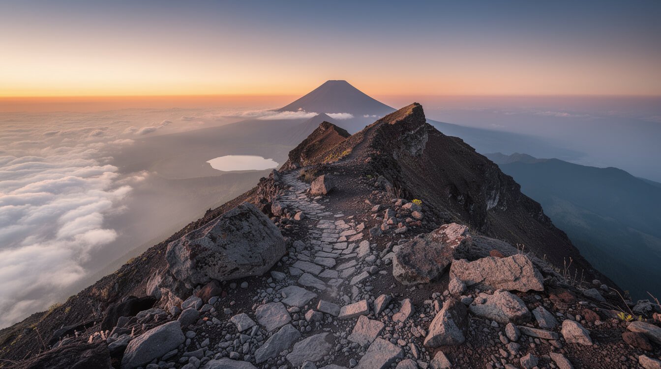
Climbing Mount Agung is a serious undertaking. It’s a night climb on steep, loose volcanic ground, with no water sources and a cold, windy summit. Every year some people turn back, and occasionally climbers get lost or hurt, usually when they go without a guide or in poor weather. If you’re fit, well prepared and climbing with a licensed local guide, it can be one of the most powerful mornings of your life. If any of those three is missing, choose another mountain.
The two classic routes
- Pasar Agung route (from Pura Pasar Agung, near Sebudi, around 1,500 meters). This is the shorter route. It usually takes about 3 to 4 hours up to the crater rim at roughly 2,800 to 2,900 meters, and slightly less to come down. It doesn’t reach the true summit, but the rim gives you a sunrise over the crater, with Lombok’s Mount Rinjani across the strait on a clear day.
- Besakih route (from the Pura Pengubengan area above Besakih, around 1,100 meters). This is the long route to the true summit. Expect about 6 to 7 hours up and 5 to 6 hours down, with around 2,000 meters of elevation gain. It’s relentless, often on all fours near the top, and the descent is brutal on knees.
The official notice behind the current closure lists more than a dozen named trails to the summit, including community-managed routes such as Dukuh Bujangga Sakti, Pucang and Telaga Maya. Your guide will recommend the route that suits your fitness and the conditions on the day.
What the night looks like
Most climbs start between 11 p.m. and 2 a.m., timed to reach the top around sunrise. From Ubud that usually means a late-evening pickup and an overnight drive. You walk by headlamp through forest and then out onto open rock. The summit can be close to freezing with the wind, even when Ubud is warm. You’ll want proper layers, gloves, a hat, a good headlamp with spare batteries, shoes with real grip, and at least 2 to 3 liters of water per person.
When to go, and who should not
The climbing season is the dry season, roughly April to October. During the wet months, trails become slippery and dangerous, the summit is usually in cloud, and many guides decline to climb at all. A climb in late November after the closure ends is possible but weather-dependent. Our Bali weather in July guide shows what the peak of the dry season looks like. Be honest with yourself: if you don’t regularly hike steep ground for several hours, if you have knee or heart problems, or if you’re traveling with young children, Mount Agung isn’t the right climb.
Always climb with a licensed local guide. It’s expected by the authorities and the communities on the mountain. Guides also know the ritual rules: no climbing during temple ceremonies, local customs about what you may carry and how you behave near the shrines, and a quiet prayer at the temple at the trailhead before you begin. Ask your guide what applies to your route and follow it without debate.
Mount Agung or Mount Batur? An Honest Comparison
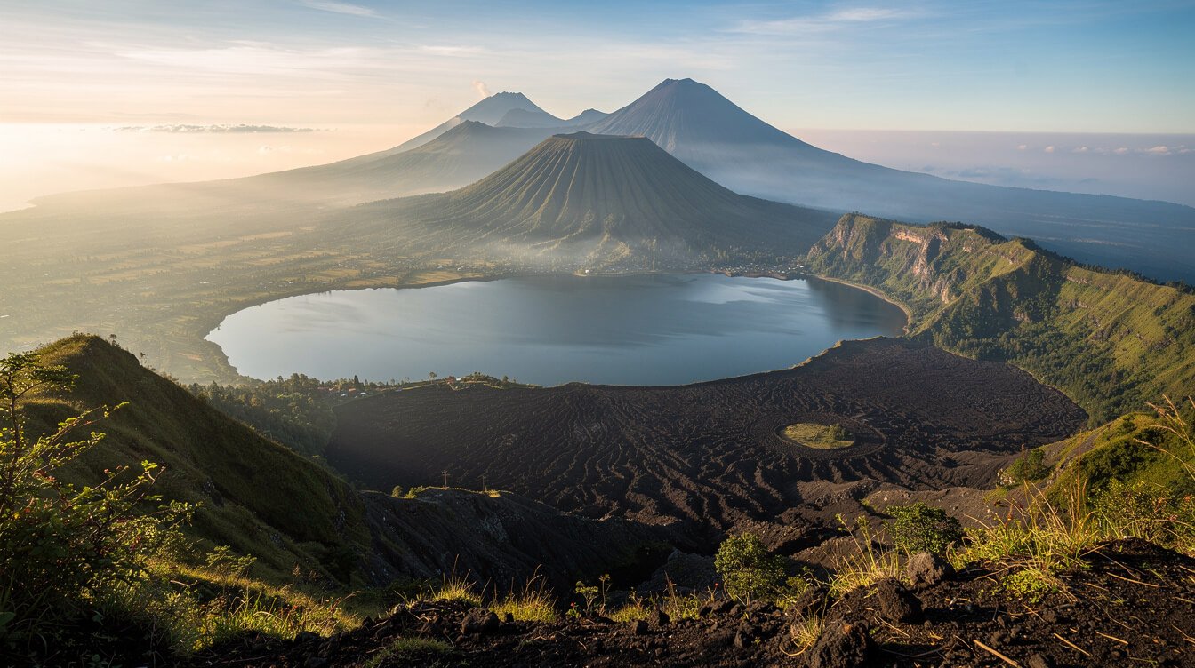
Many guests come to Bali dreaming of a volcano sunrise. For the vast majority, the right answer is Mount Batur, not Mount Agung. Here’s how they compare:
- Height: Batur is about 1,717 meters. Mount Agung is about 3,031 meters.
- Climb time: Batur takes roughly 2 hours up on a well-worn trail. Agung takes about 3 to 4 hours (Pasar Agung) or 6 to 7 hours (Besakih) on steep, loose ground.
- Fitness: Batur suits most active travelers, including older teens. Agung needs genuine hiking fitness and strong knees.
- Timing from Ubud: For Batur you’re picked up around 2 a.m. and back for a late breakfast. Agung takes the whole night and most of the next day to recover from.
- The view: From Batur’s summit you watch the sun rise behind Mount Agung and Rinjani, with the crater lake below. From Agung you’re standing on the highest point, looking down on Batur.
There’s a quiet irony there: the most famous view of Mount Agung is from Batur. If you want the sunrise, the crater, the steam vents and breakfast cooked in volcanic heat, read our full guide to the Mount Batur sunrise trek. Choose Mount Agung if you’re a confident hiker who wants the hardest, most meaningful climb on the island. For a gentle dawn walk with no summit at all, our list of sunrise treks near Ubud has easier options.
Book the Villa
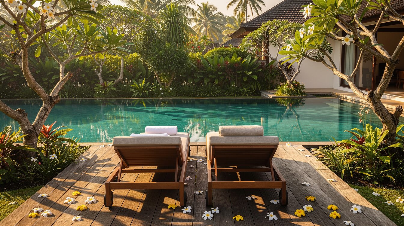
Come back from the mountain to three bedrooms, a private pool and a quiet tropical garden in Ubud, with a team on hand so your days stay yours. Check availability for your dates.
Is Besakih Worth Visiting? The Mother Temple on Mount Agung
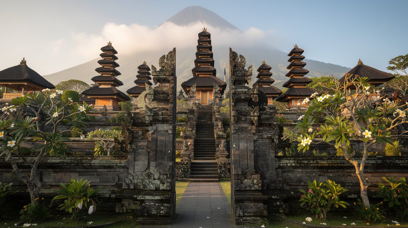
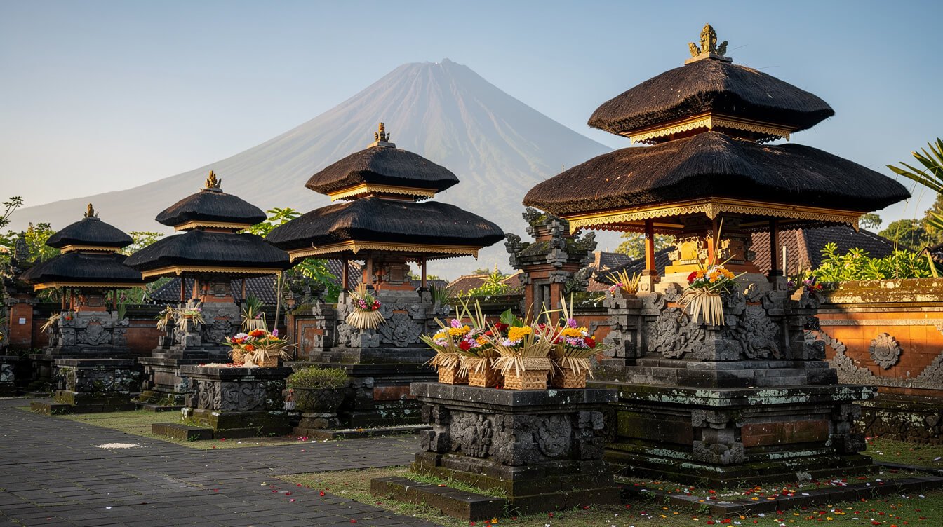
Yes, with the right expectations. Pura Besakih sits at about 1,000 meters on the southwest slope of Mount Agung, roughly 90 minutes from Ubud. It isn’t one temple but a complex of more than twenty linked temples climbing the hillside in terraces. At its heart is Pura Penataran Agung, with its tall, many-tiered meru shrines. Every Balinese Hindu family has a connection to it, and the great island-wide ceremonies are held here.
What makes Besakih worth the drive is scale and atmosphere: dozens of black-thatched meru rising against the mountain, families arriving in white and gold with offerings balanced on their heads, and on a clear morning the summit of Mount Agung right behind the temple. It’s a living temple. Remember that you’re a guest at someone else’s prayer.
Practical tips for a calm visit
- Go early. The mountain is clearest in the morning, and tour buses arrive later.
- Buy your ticket only at the official visitor counter. In recent years Besakih has reorganized arrivals around an official ticketing area and a shuttle up to the temple. If someone on the road insists you must hire them to enter, politely check at the official counter first.
- Dress for the temple. Wear a sarong that covers your legs, a sash at the waist, and covered shoulders. Sarongs are usually available at the entrance.
- Respect the inner courtyards. Many inner areas are for worshippers only. Follow the signs and your guide.
- Know who should not enter. By Balinese custom, women who are menstruating are asked not to enter temple grounds, as are people with open, bleeding wounds and those in mourning shortly after a death in the family. It’s about ritual purity, not judgment.
- Never stand above priests or offerings, and don’t step over offerings on the ground.
If Besakih feels like too much in one day, our guides to Ubud temples and to Tirta Empul offer gentler first steps into temple life closer to the villa.
When Mount Agung Is Closed: Ceremonies, Alerts and How to Check
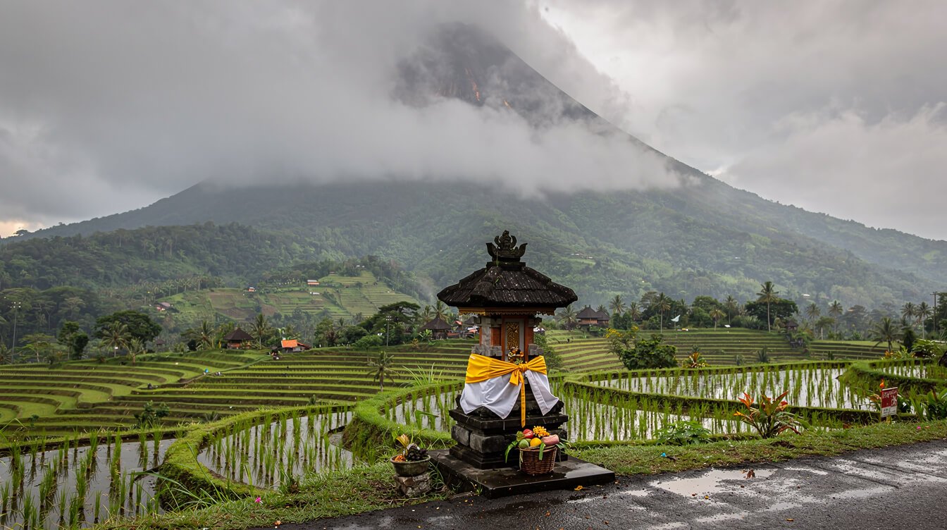
There are two reasons the mountain closes to climbers, and you need to check both before you book anything.
1. Ceremonies
Climbing is routinely closed during major ceremonies at the temples on the mountain, including Pura Pasar Agung and Pura Pengubengan at Besakih. These closures follow the Balinese ritual calendar, so they don’t fall on the same Western dates each year. They can last two weeks or more, and as this year shows, they can be extended at short notice. The current closure, from 21 October to 18 November 2026, is a good example. The large ceremonies at Besakih around the full moon of the tenth Balinese month, usually in March or April, also often mean no climbing. Our guide to Galungan in Bali explains how the ritual calendar shapes daily life on the island.
2. Volcanic alerts
Indonesia’s Center for Volcanology and Geological Hazard Mitigation (PVMBG) uses four alert levels. Level I is normal. At Level II and above, an exclusion zone is set around the crater and climbing to the summit stops. At Level IV, as in 2017, nearby villages evacuate.
How to check before you go
- Volcano status: the MAGMA Indonesia website and app, run by the Geological Agency, shows the live alert level for Mount Agung.
- Climbing closures: the official @mtagungbali account on Instagram posts closure notices, and Bali news sites cover them in Indonesian. Searching “pendakian Gunung Agung ditutup” usually turns up the latest.
- Your guide: any licensed guide will know. Confirm a day or two before your climb, because closures can be extended.
- Travel insurance: check that your policy covers high-altitude trekking and volcanic disruption. Our guide to whether Bali is safe to travel covers the bigger picture.
Mount Agung FAQ
Where is Mount Agung?
Mount Agung is in Karangasem regency in east Bali, about 90 minutes by car from Ubud to the base at Besakih. It’s the highest mountain in Bali at about 3,031 meters.
How long is the Mount Agung hike?
The Pasar Agung route takes about 3 to 4 hours up to the crater rim. The Besakih route takes about 6 to 7 hours up to the true summit, plus 5 to 6 hours down. Add the drive from Ubud and it’s an all-night, most-of-the-next-day commitment.
Is Mount Agung the toughest hike in Indonesia?
It’s not the highest. Peaks in Papua, Lombok’s Rinjani and several others are taller. But the Besakih route is one of the steepest and most demanding single-day volcano climbs most travelers will attempt in Indonesia. Rinjani is longer as a multi-day trek, while Mount Agung concentrates its difficulty into one hard night.
Can I climb Mount Agung in November?
Not before 19 November 2026, because every summit trail is closed until 18 November for a ceremony. After that, climbing depends on weather, as the wet season is starting. Many guides prefer April to October.
Is Mount Agung active?
Yes. It erupted in 1963 and again from 2017 to 2019. Recent official reports keep it at Level I (normal), but always check MAGMA Indonesia before you go.
Can I see Mount Agung from Ubud?
Sometimes, on clear mornings from higher ground nearby, but often it’s hidden by haze. For a guaranteed view, go to Sidemen, Lempuyang or the Kintamani rim early in the morning in the dry season.
Whether you stand on its summit at dawn, watch it rise behind Batur, or simply sit with a coffee in Sidemen while the cloud lifts off its shoulders, Mount Agung changes how you see Bali. Every offering, every shrine in the corner of a family compound, every temple facing upstream points back to this mountain. And once you’ve noticed it, you’ll find yourself turning toward it too.

Join our newsletter — fun, new, exciting Bali news
Ceremony days, mountain closures, market seasons and small stories from Ubud. Delivered now and then, always worth opening.